The Amarugia Highlands rise above rural Cass County
Amarugia Highlands Conservation Area in Cass County, Mo.
Was this area the location of a hillbilly kingdom? We may never know the truth.
Trail Amarugia Highlands Conservation Area
Overview
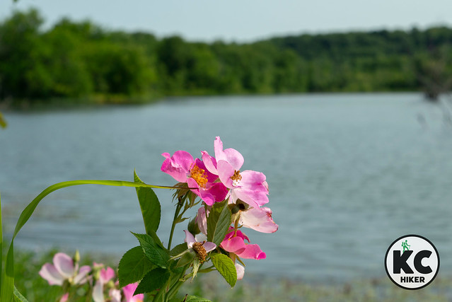
Highlands in Cass County? This southeastern region of Kansas City is mostly known for gravel roads and fields of corn and soy. However, in this area, forested hills rise about 150 feet above the surrounding plains. In addition to natural beauty, the area has an interesting backstory. What is now the Amarugia Highlands was at one time known as the “Kingdom of Amarugia.” Most of the actual history has been lost to time, but there seems to be a consensus that a group of hillbilly types formed a self-governing kingdom before being absorbed into mainstream society after the U.S. Civil War. There are many legends online if you want to check it out.In terms of hiking, the chief and most accessible trail is actually in the forested plain of the South Grand River. It’s a natural surface, one-mile out-and-back walk through prairie, marshy lowlands and forest. This 1,080-acre refuge is open for exploration, but some bushwhacking will be required if you want to explore the upland area. There is also a 45-acre lake which is available for recreational activities.
Length The most accessible “official” trail is about two miles in length. The 1,080-acre park is open for exploration. Be mindful of seasons because hunting is allowed on this property.
Address and location
This area is remote, with the nearest town being Archie, Mo. See the map below for coordinates.
Conditions There is a mowed, one-mile out-and-back trail that explores lowland prairie and forest.
Kid friendly? For hearty kids only.
How busy? This is a low-traffic trail. Be mindful of hunting seasons since this is a Missouri Conservation Area.
Pets No.
Bikes are not allowed on trails, only conservation area roads.


