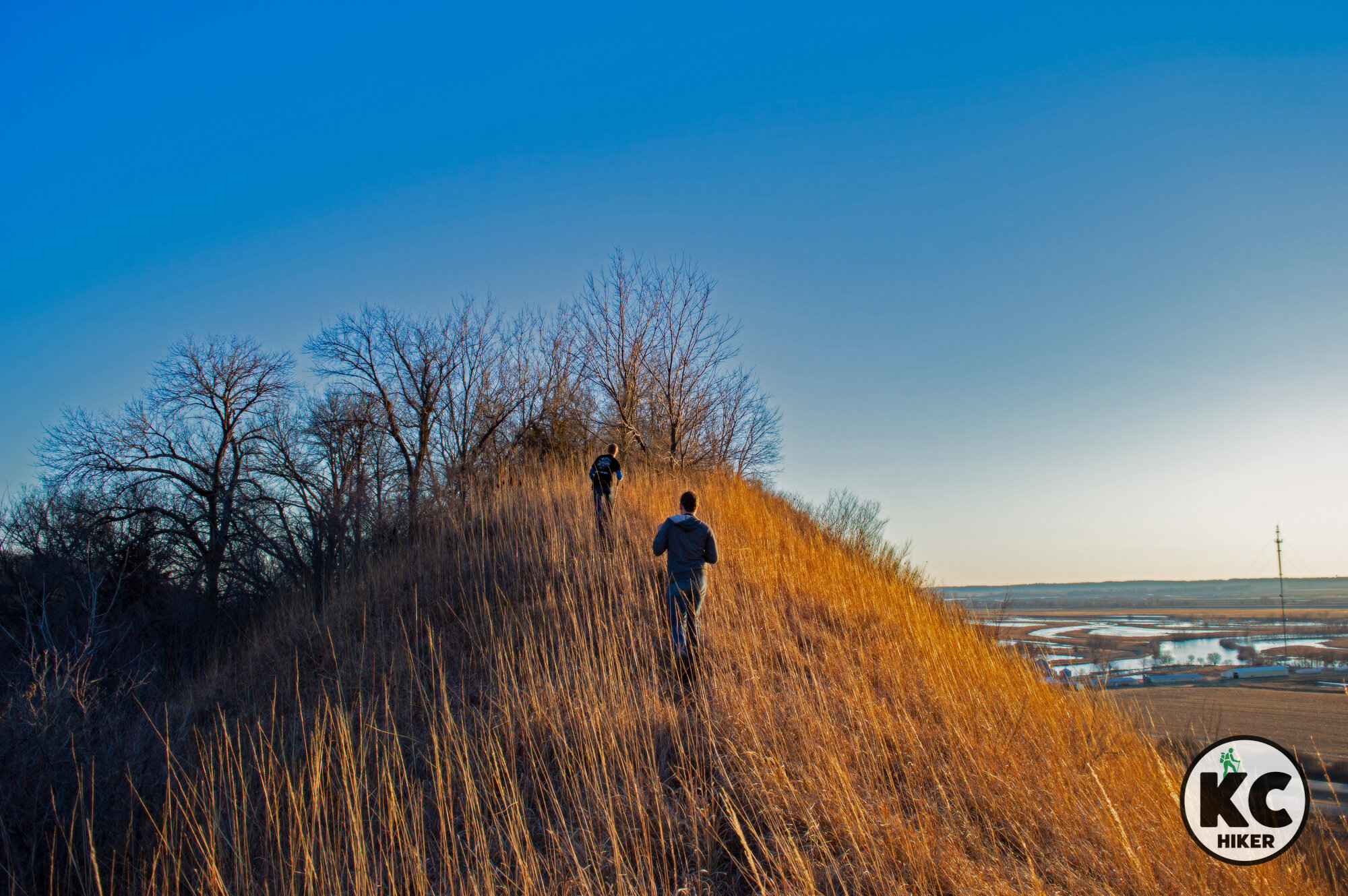
View four states from Star School Hill Prairie
Star School Hill Prairie Conservation Area
This conservation area in northwest Missouri rises abruptly above the Missouri River Valley, offering spectacular views.
Trail Star School Hill Prairie Conservation Area
Overview
Star School Hill Prairie Conservation Area is a little known wildlife refuge in northwest Missouri, just short of the Iowa border. Yet it’s worth a visit, especially if you’re heading north on I-29. About 300 acres of rugged Loess Hills are open for exploration. Although the state map shows trails, they’re hard to find and follow, so it’s better to set out and explore on your own. The conservation area is bordered by I-29, so it’s easy to keep your bearings. These rugged hills launch steeply upward toward a wooded summit, about 250 feet above the Missouri River. Those who make it to the top can view Kansas, Nebraska, Iowa and, of course, Missouri. This is a special place that has maintained its wildness in spite of proximity to a major highway. The refuge is about two hours and fifteen minutes from Downtown Kansas City.
Star School Hill Prairie is best incorporated into a trip to the general vicinity. And that’s great, because there’s lots of hiking nearby. Options include:
Mt. Hope Cemetery, in Corning, Mo. This historic burial ground is managed through a partnership with the Missouri Department of Conservation. You’ll experience stunning views from the top of Mt. Hope. In this flood-prone region, cemeteries had to be placed on hilltops. The graveyard is rich with the history of German immigrants who farmed the area in the 1800s. Although there is no street address, here is a link to the location on Google Maps.
Mt. Hope Cemetery, in Corning, Mo., is managed through a partnership with the Missouri Department of Conservation.
Other nearby attractions include:
Arbor Day Farm is a family-oriented park (paid admission required) in Nebraska City, Neb. Lied Lodge, also in Nebraska City, is a unique, nature-oriented hotel.
Nebraska City is also home to the Lewis & Clark Interpretive Trail and Visitors Center (paid admission) and Arbor Lodge State Historical Park (paid admission).
About the Loess Hills
Loess hills were formed by wind-blown soil, not geologic uplift, glacial deposits or erosion. They’ve been described as having a “wrinkled” look. Their appearance is striking: Dirt-scarred hills shoot up suddenly from river bottom flatlands with no transition zone.These “crumbly” hills were devoid of trees in their natural state, often because wildfires and grazing buffalo and elk kept them bare. With fire suppression and farming came trees, so much of the hill range is cloaked in forest. Yet much of the original “fire” remains in these hills, with plants usually associated with the West popping up here.
While loess soils are not unique to Missouri and Iowa, their size here is unmatched except for a region in China. This region is truly unique in the Americas.
Length Although the state map indicates trails, they are difficult to find. It’s better to plan on wandering. You can explore for a couple of hours (or until you’re out of breath from the elevation gains). The western border is I-29, so it’s easy to keep your bearings.
Address and location There is no street address and no direct access from I-29. Therefore, you must access the area from Rockport, Mo., or Hamburg, Iowa. The Google Maps location is linked here. Also note that this refuge is split into two sections: one on the north and one on the south. Both are worth exploring (see the map for details).
Conditions There are no trails and this is rough ground to traverse. Plan on getting a good workout and wear sturdy footwear.
Kid friendly? Kids will need to be up for a strenuous hike and no trail.
How busy? This area is lightly trafficked. Note that hunting is allowed here during official state of Missouri seasons.
Pets Yes, on a leash.
Bikes Yes unless indicated otherwise.


