Hike rolling plains and marshlands at Kendzora Conservation Area
Kendzora Conservation Area is an outpost of northern Missouri beauty. The natural surface, grassy loop around the area is comprised of rolling hills with glimpses of distant horizons. The 35-acre Kendzora Lake and adjacent 120 acres of marshland provide a prime habitat for waterfowl and migratory birds.
Kendzora Conservation Area, Platte County, Mo.
Nearly 900 acres are divided between upland prairie, forest groves and bottomland marshes.
Trail Anthony and Beatrice Kendzora Conservation Area
Overview
Kendzora Conservation Area is an outpost of northern Missouri beauty. The natural surface, grassy loop around the area is comprised of rolling hills with glimpses of distant horizons. The 35-acre Kendzora Lake and adjacent 120 acres of marshland provide a prime habitat for waterfowl and migratory birds. The area has been designated as part of the Great Missouri Birding Trail system. In addition to wildlife, wildflowers explode throughout the preserve. The Platte River runs through the western reaches of the refuge.
Length The Kendzora Loop, on the northern side of the area, is a 3.8-mile mowed service road. In addition, there is an “unofficial” 2-mile trail that follows levies through the bottomland area on the reserve’s south side.
Address and location Missouri Conservation areas can lead to confusion when input into map apps. That’s because there are rarely offices or singular entrances. The trailhead for the Kendzora Loop is located on the north side of Union Mill Road near Edgerton, Mo. The official address is Kendzora Conservation Area, Edgerton, MO 64444. However, that may not get you to the trailhead. To arrive there, use the department’s trail map and navigate accordingly.
Conditions The Kendzora Loop is mowed, hilly terrain. There are few markers but it’s generally easy to navigate. The Great Birding Trail is less developed. Use caution or avoid this area during peak hunting seasons.
Kid friendly? These trails are for only the sturdiest of children.
How busy? These are low-traffic trails; use caution or avoid this area during peak hunting seasons.
Pets Yes, on a leash (unless otherwise designated).
Bikes are not permitted.
Explore wild river wetlands on two Northland trails
Trails at Little Bean Marsh Conservation Area and Lewis and Clark State Park navigate oxbow lakes, bottomland forest and marshlands near the Missouri River.
Missouri’s Lewis and Clark State Park
Trails at Little Bean Marsh Conservation Area and Lewis and Clark State Park navigate oxbow lakes, bottomland forest and marshlands near the Missouri River.
Trail Little Bean Marsh Conservation Area and Lewis and Clark State Park.
Overview
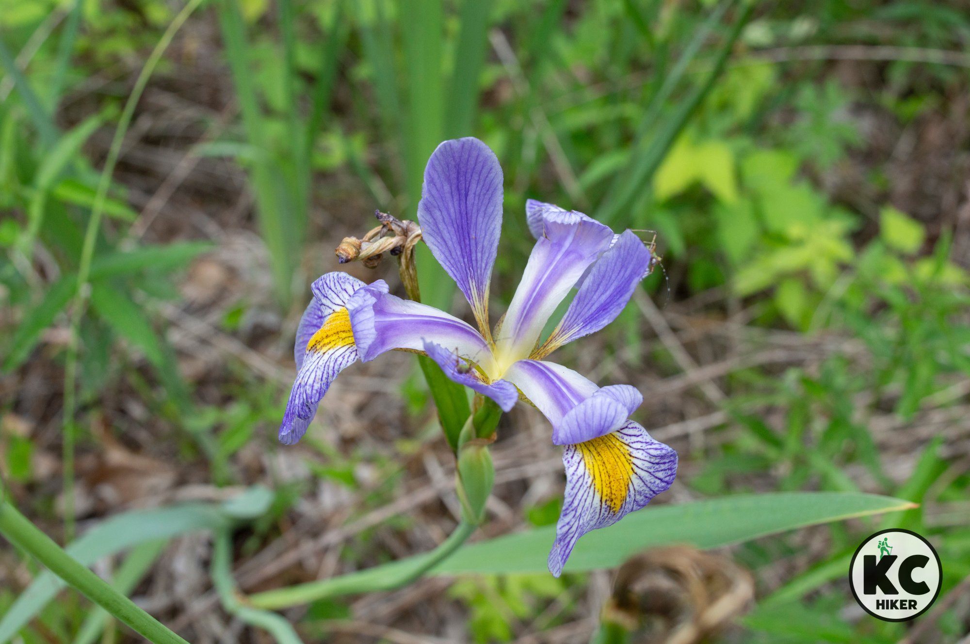
Little Bean Marsh Conservation Area and Lewis and Clark State Park are two distinct entities, but they are only five miles apart. The marsh is in northern Platte County while the park is in southern Buchanan County. Both allow exploration of remnants of the formerly wild bottomlands of the Missouri River. Since neither has long trails, they can easily be combined on one outing, allowing a fuller exploration of this unique habitat. Both areas are centered on oxbow lakes, which are formed when the river changes course but leaves behind a body of water. Bean Lake is intermittently full, depending on precipitation. However, Gosling Lake, in Lewis and Clark State Park, is 365 acres in size and is a fishing attraction. Both areas are connected to the history of the Lewis and Clark expedition in 1804. This biome can be characterized as dense forest, interspersed by marshes. It’s a magnet for wildlife and wildflowers, including native species of iris in season. The area is best avoided in hot weather because dense vegetation and low elevation make it quite humid. In addition to the lowlands, the Loess Hills immediately west of both parks are an underappreciated scenic area that can be explored via rural roads in the area.
Length The Lewis and Clark Gosling Lake Trail is 1.3 miles. The Little Bean Marsh Trail is about 1 mile in length.
Address and location
Little Bean Marsh Conservation Area is 4 miles north of Iatan, Mo., on Highway 273. A Google Map is below. Don’t turn east off the highway until you reach Westside Drive. Although there is a sign pointing you to Little Bean Marsh, it does not take you to the trailhead.
Lewis and Clark State Park is 801 Lakecrest Blvd., Rushville, MO 64484.
Conditions Both trails are flat. The Little Bean Marsh Trail is paved, but rough in a few places. The Gosling Lake Trail at Lewis and Clark State Park is gravel.
Kid friendly? These are low-traffic trails with no hills. The paved Bean Marsh trail can accommodate strollers. The gravel trail at Lewis and Clark State Park is not stroller-friendly.
How busy? This are low-traffic trails.
Pets Yes, on a leash (unless otherwise designated).
Bikes Non-motorized bicycles are permitted at Lewis and Clark State Park but not Little Bean Marsh.
Gosling Lake sits in a former channel of the Missouri River at Lewis and Clark State Park.
Lewis and Clark State Park is in the bottomlands at the foot of Loess Hills.
Little Bean Marsh Conservation Area preserves some of the native bottomland forest habitat noted by explorers Lewis and Clark. This includes wild iris.
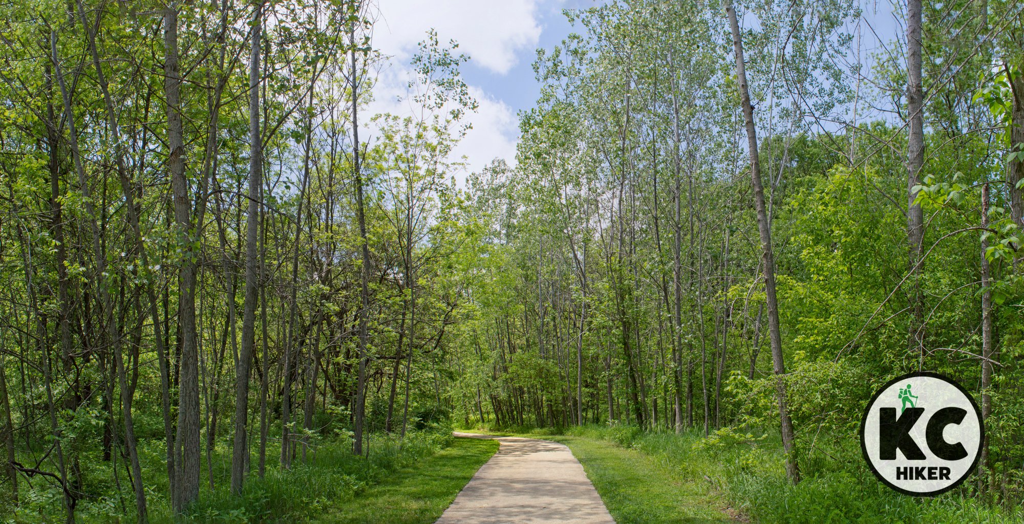
A trail through Little Bean Marsh Conservation Area explores the thick bottomland forest habitat near the Missouri River.
Interurban and Linear Trails in Platte County
Take an urban walk through Riverside, past the Briarcliff Waterfall, and view Kansas City’s skyline on the InterUrban Trail in Kansas City’s Northland.
Briarcliff Waterfall in Riverside, Mo., Platte County.
Take an urban walk through Riverside, past the Briarcliff Waterfall, and view Kansas City’s skyline.
Trail Interurban & Linear Trails
Overview
The Interurban and Linear trails traverse a scenic section of urban Platte County. It’s busy but still beautiful. The trailhead is in a park-like setting in Riverside. From there, the trail cuts through a neighborhood before switching to a sidewalk along N.W. Platte Road (see our map). You could turn around at the end, but what’s the fun in that? We have mapped a loop that takes you through Charles A. Garney Park, then through a neighborhood on a bluff before returning you to the trailhead.
Length About 2 miles
Address and location The trailhead is an extra-large cul-de-sac where you can park on the street. Take Vivian Road, then turn south on N.W. St. Joe Boulevard to reach the trailhead parking.
Conditions This is a paved trail, for the most part. More than half of it doubles as a sidewalk. There are very few markers, so you’re best using the map on this page or navigating with a map app. Most of the route is moderately hilly, with one steep hill (on a sidewalk).
Kid friendly? The paved trail is a hilly walk on a hard surface. There is busy motorist traffic along the route, so children will need to be shepherded away from streetsides. Kids will enjoy the lake, waterfall and fountains along the route, but parents should be mindful of water safety.
How busy? This is a moderately-trafficked trail in a somewhat congested area.
Pets Yes, on a leash (unless otherwise designated).
Bikes Non-motorized bicycles are permitted.
Charles A. Garney Park
Briarcliff Waterfall, Riverside, Mo.
Charles A. Garney Park
Briarcliff Waterfall Park
Amity Woods Nature Park
Amity Woods Nature Park, in Platte County, is a 48-acre preserve and a quiet refuge in Kansas City’s Northland.
Amity Woods Nature Park, Platte County, Mo.
This 48-acre preserve is a quiet refuge in Kansas City’s Northland.
Trail Amity Woods Nature Park and Trail
Overview
This Platte County park is home to a 1-mile out-and-back trail that also includes a few side loops. A clear stream meanders through this quiet, heavily forested park.
Length 1 mile out-and-back (for a total of 2 miles)
Address and location
MO-152 & North Amity Avenue, Kansas City, Mo., 64153
Conditions This is a paved trail with few dirt/wood chip side trails.
Kid friendly? The paved trail is excellent for strollers and children on small bikes. Kids will like playing in the creek.
How busy? This is a moderately-trafficked trail.
Pets Yes, on a leash (unless otherwise designated).
Bikes Non-motorized bicycles are permitted.
Prairie Creek Greenway Trail
In the “far north” of the Kansas City area, near Platte City and KCI Airport, is the little known Prairie Creek Greenway Trail. Part wild and part backyard, this paved trail follows its namesake stream through wooded and pastoral areas. A highlight is Prairie Creek Falls (nothing like Niagara, but impressive for Kansas Citians). You can begin at the north our south trailhead.
Prairie Creek Greenway Trail
Seven pedestrian bridges and a waterfall are highlights of this 6-mile trail near Platte City, Mo.
Trail Prairie Creek Greenway Trail
Overview
In the “far north” of the Kansas City area, near Platte City and KCI Airport, is the little known Prairie Creek Greenway Trail. Part wild and part backyard, this paved trail follows its namesake stream through wooded and pastoral areas. A highlight is Prairie Creek Falls (nothing like Niagara, but impressive for Kansas Citians). In summer and spring, this trail is flanked by legions of wildflowers. You can begin at the north or south trailhead.
Length 6.75 miles total, including neighborhood offramps.
Address and location There are several access points, but the main trailheads with parking are at:
Sycamore Drive, Platte City, Mo. 64079 This is in a residential area, but has a designated parking area (see map below).
North Highway (N Highway), Platte City, Mo. 64079 There is a designated parking area (see map below).
Conditions This is a paved trail with few elevation changes. Be prepared for extensive unshaded areas.
Kid friendly? The trail is excellent for strollers and children on small bikes. Parents should be mindful of passing bikers.
How busy? This is a moderately-trafficked trail.
Pets Yes, on a leash (unless otherwise designated).
Bikes Non-motorized bicycles are permitted.


