Lone Elm Park preserves prairie and pioneer stories
Olathe’s Lone Elm Park offers opportunities to walk a quiet prairie and reflect on events that sparked the nation’s westward expansion 200 years ago. A one-mile trail, with several connectors, loops the park. If you want to walk further, you can reverse the loop. Much of the area is shadeless prairie, so plan accordingly to protect yourself from sun and heat exposure. The trail is natural surface, so insect repellant is recommended.
The land the park occupies was a stopping point for settlers heading west on the Santa Fe, Oregon, and California Trails. It was the site of their first night west of the Missouri River. It was first used as a pioneer campground in 1821 and continued for a few decades. Thousands of travelers, including mountain man and folk hero Kit Carson, camped here. Artifacts, including wagon ruts, remain. The creek that meanders through the park provided water for these travelers. The National Park Service recognizes it as a historic site.
Two centuries ago, this Olathe location was a hotbed of pioneer activity.
Trail Lone Elm Park Trail
Overview
Olathe’s Lone Elm Park offers opportunities to walk a quiet prairie and reflect on events that sparked the nation’s westward expansion 200 years ago. A one-mile trail, with several connectors, loops the park. If you want to walk further, you can reverse the loop. Much of the area is shadeless prairie, so plan accordingly to protect yourself from sun and heat exposure. The trail is natural surface, so insect repellant is recommended.The land the park occupies was a stopping point for settlers heading west on the Santa Fe, Oregon, and California Trails. It was the site of their first night west of the Missouri River. It was first used as a pioneer campground in 1821 and continued for a few decades. Thousands of travelers, including mountain man and folk hero Kit Carson, camped here. Artifacts, including wagon ruts, remain. The creek that meanders through the park provided water for these travelers. The National Park Service recognizes it as a historic site.
Length A one-mile trail loops the park, with several connectors. If you want to walk further, you can reverse the loop.
Address and location Lone Elm Park, 21151 W 167th St, Olathe, KS 66062. The trail begins at the picnic shelter/playground area.
Conditions This is a natural surface trail that is well maintained. There are few elevation changes. Most of the trail is exposed to the sun, so plan accordingly. Inspect repellant is recommended.
Kid friendly? This trail will be impassable for strollers, but children who enjoy a walk will enjoy it. There is also a playground and restrooms.
How busy? This trail is moderately trafficked.
Pets Yes, on a leash.
Bikes Yes.
The Indian Creek Trail jogs through suburban Johnson County
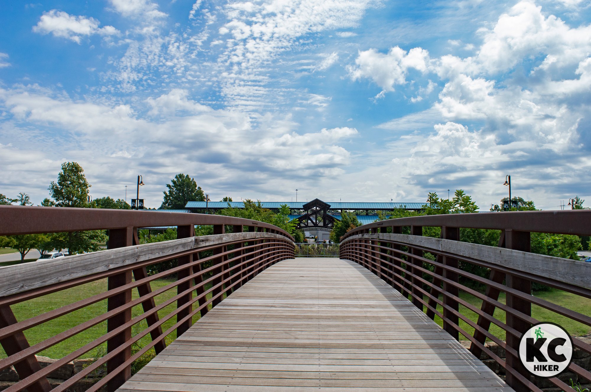
The Indian Creek Trail begins at Frontier Park in Olathe and extends 17 miles east to the Missouri State line. This wide, paved trail is popular with bikers and hikers in suburban Johnson County, Kansas.
Indian Creek Trail, Johnson County, Kansas
About 17 miles of trails run from Olathe to the state line.
Trail Indian Creek Trail
Overview
Indian Creek Trail runs 17 miles through suburban Johnson County, beginning at Frontier Park in Olathe. It heads west and ultimately leaves the state, entering Missouri at State Line Road. From there it follows Indian Creek through South Kansas City, Mo. In general, the western sections are quieter and more neighborhood oriented. As the trail heads east, it becomes more intensely urban, passing under I-470 and through the Corporate Woods office park. Much of the trail runs in proximity to Indian Creek. Highlights include Forest Park and a waterfall at Corporate Woods.Length 17 miles.
Address and location The trail can be accessed from multiple locations, including:
Corporate Woods Founders’ Park, 9300 Indian Creek Pkwy, Overland Park, Kan., 66210
Forest Park Trailhead, 13112 W 125th St, Overland Park, Kan., 66213
Hallet Trailhead, 12631 S Hallet St., Olathe, Kan., 66062
Foxhill South Park, Overland Park, Kan., 66211
Highland View Park, 9000-9190 151st St, Overland Park, Kan., 66221
Indian Creek Recreation Center, 10308 Marty St, Overland Park, Kan., 66212
Nall Hills Park, Indian Creek Bike Trail, Overland Park, Kan., 66207
Quivira Park, 11901 Quivira Rd, Overland Park, Kan., 66213
Regency Lake Park, 14800 Lamar Ave., Overland Park, Kan., 66223
Roe Park, Indian Creek Bike Trail, Overland Park, Kan., 66207
Switzer Park, 10917-10965 W 135th St, Overland Park, Kan., 66221
Conditions The Indian Creek Trail is wide, paved and well marked. There are few elevation changes.
Kid friendly? These sturdy, paved trails are built for strollers and bicycles. Parents should be mindful of bike traffic.
How busy? The Indian Creek Trail is well traveled, but not all sections are equally busy. Cyclists are a constant presence, so walkers will need to be alert.
Pets Yes, on a leash (unless otherwise designated). Read Johnson County Park rules here.
Bikes Non-motorized bicycles are permitted.
Little Mill Creek Trail connects backyards, water and woodlands
Lenexa’s interconnected trail system runs through six parks along the Little Mill Creek.
A trail beginning at Sar-Ko-Par Trails Park in Lenexa wraps around neighborhoods, through six parks and alongside Little Mill Creek.
Lenexa’s interconnected trail system runs through six parks along the Little Mill Creek.
Trail Little Mill Creek Trail and extensions
Overview
This Lenexa, Kansas, trail system joins several segments to create a nature-filled suburban walk. You can begin at Sar-Ko-Par Trails Park, which features a scenic loop around Rose’s Pond. From there, take the hike/bike trail underneath 87th Street and follow the Little Mill Creek Trail north until it loops back through neighborhoods and ends at Ad Astra Park. This is not a complete loop, so at some point you will need to turn around. There are also several access points via the city’s numerous parks. The entire system is paved. The trail passes through:Sar-Ko-Par Trails Park
Oak Valley Park
Heritage Forest Park
Little Mill Creek Park (South and North)
Lackman Park
Ad Astra Park
Length The entire trail system is about three miles long (so six miles out and back).
Address and location This trail has parking access at several locations including:
Sar-Ko-Par Trails Park 14907 W. 87th St. Parkway, Lenexa, KS 66215
Little Mill Creek North Park W. 79th Street and Cottonwood Street, Lenexa, KS 66216
Ad Astra Park 8265 Maurer Road, Lenexa, KS 66219
Conditions This is a well-maintained paved trail with minor elevation changes.
Kid friendly? This trail can accommodate strollers and children’s bikes. Parents should be mindful of bike traffic.
How busy? This trail is moderately-highly trafficked.
Pets Yes, on a leash.
Bikes Yes.
Hike lake to lake on the Cedar Creek Trail in Olathe
Cedar Creek Trail starts at the inlet to Lake Olathe, then follows the stream as it meanders through bottomland forest in Johnson County, Kansas.
Cedar Creek Falls is located at the north trailhead on Dennis Avenue in Olathe, Kansas.
Cedar Creek Trail begins at Lake Olathe and ends at Cedar Lake (or vice versa). In addition, waterfalls await hikers at each end.
Trail Cedar Creek Trail
Overview
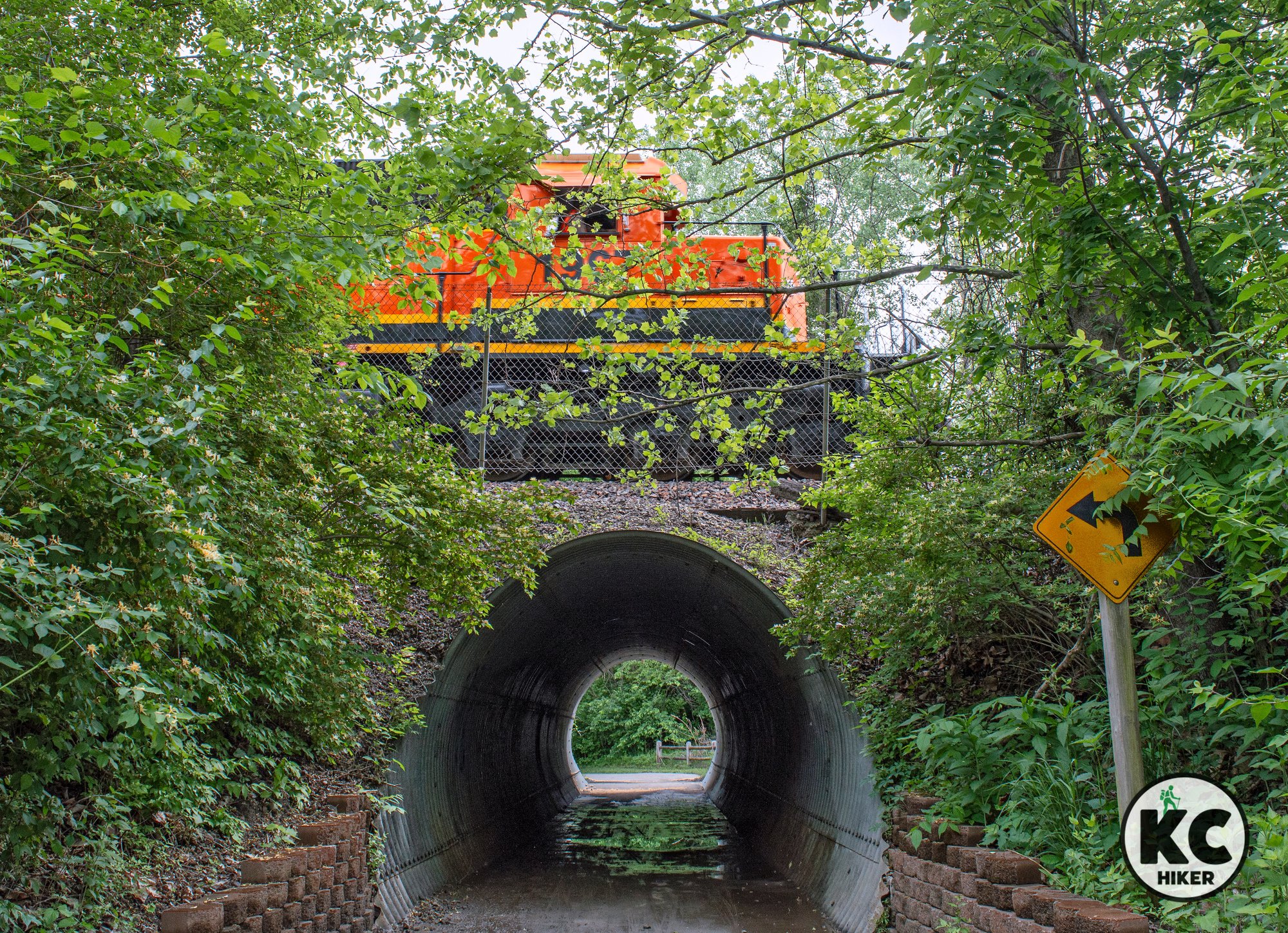
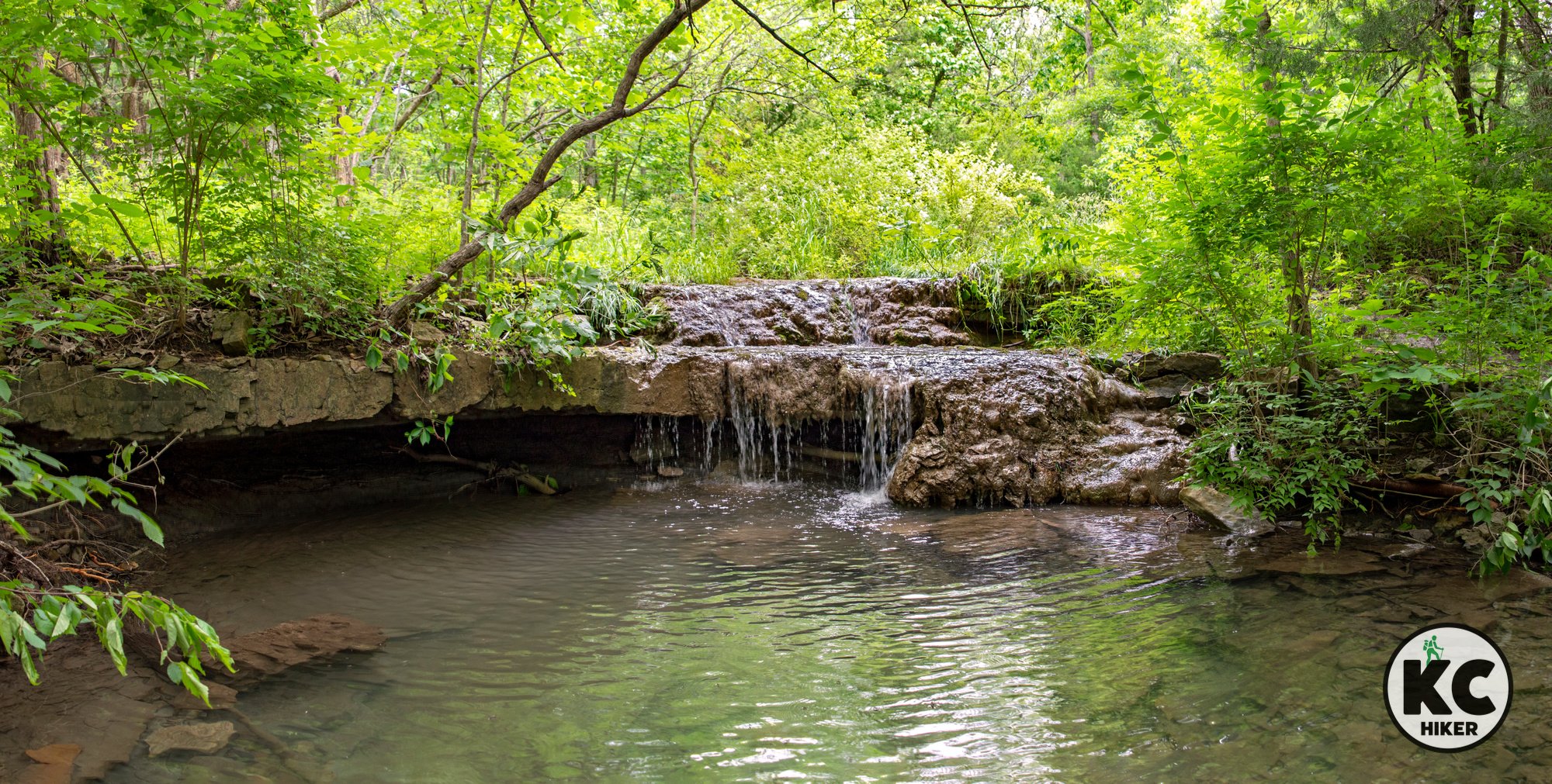
Cedar Creek Trail is unique in the Kansas City area in that it connects two lakes and two waterfalls. Starting at the north trailhead on Dennis Avenue, you’ll be immediately greeted by Cedar Creek Falls. From there, the trail heads south through a wooded grove and follows Cedar Creek. Soybean fields can sporadically be viewed to the south and west. Though generally flat, this paved trail has a few steep grades, characterized as of low-moderate difficulty. You may see deer, heron and other local wildlife in the quiet of this area. Sycamores, cottonwoods and walnut trees comprise much of the bottomland forest that blankets the trail. The trail gradually increases in elevation before it ends at Cedar Lake. The waterfall at Cedar Lake isn’t visible from the trail, but it is often audible. You’ll need to scramble through brush on unofficial trails to reach Cedar Lake Falls. In general, the northern side of the trail (closer to Lake Olathe) is quieter than the southern zone. Although still scenic, the southern zone borders a quarry and active freight line which can temporarily interrupt your natural experience.
Cedar Lake Falls, below the spillway at Cedar Lake.
Length The paved trail is 2.8-miles out and back (for a total of 5.6 miles).
Address and location
The north trailhead is at the intersection of 143rd Street and S. Palmer Drive in Olathe. Park in the gravel lot that borders the lake.
The south trailhead is located on the north side of Olathe’s Cedar Lake; there is no sign, but it’s adjacent to the dam on the north side.
North trailhead parking in gravel lot on 143rd Street
South trailhead parking at Cedar Lake in Olathe
Conditions This is a wide paved trail with minor-moderate elevation changes.
Kid friendly? This trail is wide and can accommodate strollers and children’s bikes. Parents should be mindful of bike traffic.
How busy? This trail is moderately trafficked.
Pets Yes, on a leash.
Bikes Yes.
Small JoCo park packs a big punch
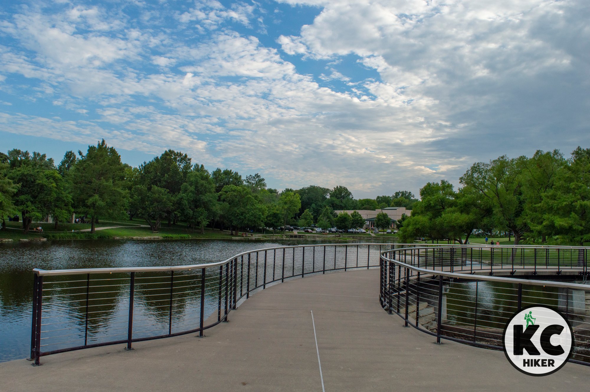
Antioch Park, in Merriam, Kansas, is comprised of only 44 acres. Yet it’s home to boardwalks, trails, two fishing lakes and play areas for kids.
Antioch Park, Overland Park, Kan.
Antioch Park, at only 44 acres, is home to boardwalks, trails, two fishing lakes and play areas for kids.
Trail Antioch Park
Overview
Opened in 1958 when Merriam was on the bleeding edge of suburbia, Antioch Park is more relevant – and scenic – than ever. With its fountains, looping trails and boardwalks, it’s one of Johnson County’s most visited parks, drawing an estimated 700,000 guests a year. But don’t let those numbers scare you off. You’ll see people, but it’s not crowded. There’s plenty of suburban space for everyone to peacefully co-exist. Antioch Park can best be described as walking through a suburban garden. Shade trees, picnic areas, lakes and bridges create their own brand of Zen. The trail is a paved, 1.2-mile loop that weaves in and out of all these amenities.Bonus features
Dodge Town includes a schoolhouse, bank, pony express, city hall, general store, train station and more. Next to it are two adjoining playgrounds.
Basketball, bocce ball and tennis courts
Vietnam Memorial honoring Johnson Countians who died in the war or are MIA
Length The paved trail is a 1.2-mile look with multiple access points. If you want more mileage, circle the park a few times.
Address and location Antioch Park, 6501 Antioch Road, Merriam, Kan., 66202
Conditions The paved trail and boardwalks are well maintained and easy to navigate. Elevation changes are minor.
Kid friendly? The paved trail is easy for children to walk, bike or ride in a stroller and there are numerous amenities for kids. A minor thing to watch: Although the lakes are small, it would be easy for a child to fall off a stepping stone into the shallow water. That would be mostly messy and not life threatening.
How busy? This trail is highly trafficked.
Pets Yes, on a leash.
Bikes Yes.
Merriam streamway is an urban Zen zone
The Turkey Creek Streamway Trail carves a green path in the midst of suburban bustle.
Turkey Creek Streamway Trail, Merriam, Kan.
The Turkey Creek Streamway Trail carves a green path in the midst of suburban bustle.
Trail Turkey Creek Streamway Trail
Overview
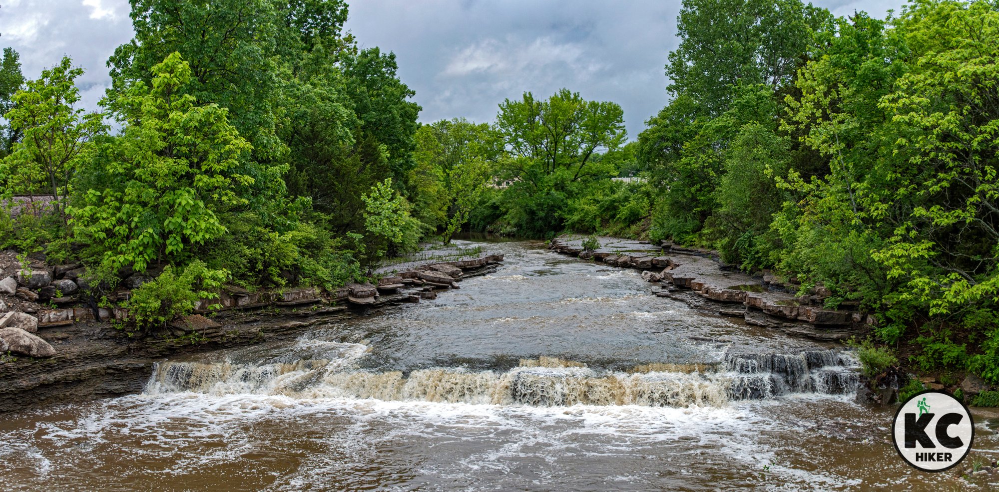
The Turkey Creek Streamway Trail is a four-mile, paved path running north-south between 75th Street and Antioch Road in Merriam, Kan. Although this trail is in the shadow of major highways, they seem far away when foliage is in bloom. Roadways are also drowned out by the sound of Turkey Creek, which is a surprisingly clear urban stream. In fact, Turkey Creek’s northern trailhead is home to one of Kansas City’s largest waterfalls: Turkey Creek Falls. You can begin your hike at Waterfall Park (5191 Merriam Drive, Merriam, Kan., 66203), then head south. The creek is characterized by multiple small waterfalls and cascades. Most of the trail is shaded and forested.
Length The paved trail is 4 miles each way (for a total of 8 miles out and back).
Address and location Access trailheads at:
Waterfall Park, 5191 Merriam Drive, Merriam, Kan. 66203
Merriam Marketplace, 5740 Merriam Drive, Merriam, Kan., 66203
Chatlain Park, 6300 Carter Avenue, Merriam, Kan., 66203
Campbell Park, 9674 W. 61st Street, Merriam, Kan., 66203
Parking Lot, Kings Cove Drive and W. Frontage Road, Merriam, Kan., 66204
Conditions This paved trail is well-maintained and runs through business and residential areas.
Kid friendly? The paved trail is easy for children to walk, bike or ride in a stroller. Parents need to be mindful of passing cyclists. The trail also borders several parks.
How busy? This trail is moderately trafficked.
Pets Yes, on a leash.
Bikes Yes.
Cedar Niles Park and Trail System
Cedar Niles Park, in Olathe, features a paved trail and a single-track mountain bike/hiking trail. Trails explore the park’s rolling terrain, cedar and deciduous forests and prairie. The area comprises a unique combination of upland and lowland forest. The lowland areas center around Cedar Creek and a tributary. The park’s topography is typical of the rolling grassland and wooded areas of western Johnson County. Elevation ranges from 850 feet at Little Cedar Creek to 1,020 on the forested hilltop. Wildlife is abundant, along with wild flowers and other plant life.
Cedar Niles Park and trail system, Olathe, Johnson County, Kansas
Walk or bike more through more than 900 rolling acres of cedar forest and prairie.
Trail Cedar Niles Park Trail System
Overview
Cedar Niles Park, in Olathe, features a paved trail and a single-track mountain bike/hiking trail. Trails explore the park’s rolling terrain, cedar and deciduous forests and prairie. The area comprises a unique combination of upland and lowland forest. The lowland areas center around Cedar Creek and a tributary. The park’s topography is typical of the rolling grassland and wooded areas of western Johnson County. Elevation ranges from 850 feet at Little Cedar Creek to 1,020 on the forested hilltop. Wildlife is abundant, along with wild flowers and other plant life.
Length The paved trail is 4 miles each way (for a total of 8 miles out and back). The single-track, unpaved Columbine loop is about 8 miles.
Address and location There are trail heads at:
12650 S Clare Rd, Olathe, Kan., 66061
25117 W 119th St, Olathe, Kan., 66061
25780 W 135th St, Olathe, Kan., 66061
Conditions This is one of Johnson County’s newer parks and it is in top condition. The paved trail is wide and well suited for bikes, strollers and walking. The mountain bike trail is rugged, dirt and single track. However, it is well-marked and diligently maintained by the Urban Trail Co. In periods of wet weather, check the Urban Trail website to make sure the dirt trail is open or closed (the paved trail is always open).
Kid friendly? The paved trail is easy for children to walk or ride on a bike or stroller. Parents need to be mindful of passing cyclists. The dirt track trail is too rugged for strollers or non-mountain bikes, so walking will be required. The 135th Street trailhead has a permanent restroom (but it may be open seasonally).
How busy? This trail is moderately trafficked.
Pets Yes, on a leash.
Bikes Yes.
Overland Park Arboretum is home to top-notch trails
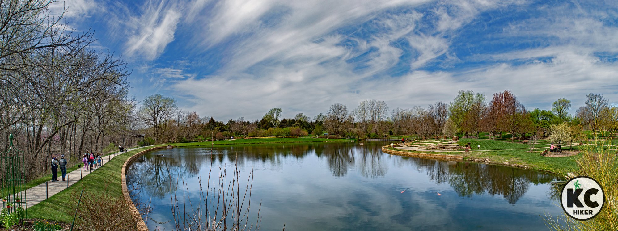
Overland Park’s Arboretum and Botanical Gardens is known for its plant life and cultivated beauty. Its hundreds of acres put nature on display and make it accessible. It’s a garden, a lake, a prairie and a forest, all cultivated for your enjoyment. But it also has first-class walking trails.
Overland Park Arboretum and Botanical Gardens, Overland Park, Kan.
Delight in 300 acres, thousands of plant species, woods and streams.
Trail Overland Park Arboretum and Botanical Gardens
Overview
Overland Park’s Arboretum and Botanical Gardens is known for its plant life and cultivated beauty. Its hundreds of acres put nature on display and make it accessible. It’s a garden, a lake, a prairie and a forest, all cultivated for your enjoyment. But it also has first-class walking trails. Note: There is an admission fee. Visit the official website for details.
Length There are six miles of total trails ranging throughout the arboretum. This includes a large natural surface trail and off-trail area (“back country”) on the southern, prairie side of the arboretum. The back country section will be of most interest to hikers, giving wide latitude for exploration. Its terrain includes rock ledges, boulders and even an occasional waterfall (this area is best explored between November-April to minimize exposure to ticks and poison ivy).
Address and location 8909 W. 179th Street, Overland Park, Kan., 66013
Conditions The arboretum has a first-rate trail system with a variety of surfaces ranging from asphalt to mulch to dirt track.
Kid friendly? The arboretum and gardens are generally conducive to strollers. There are also nature-oriented play areas. The dirt track trails on the south side are not conducive to strollers. The natural surface trails are of moderate difficulty.
How busy? The arboretum is heavily trafficked during peak days and seasons. The southern nature trails receive significantly less traffic than the garden area.
Pets Yes, on a leash but with some restrictions.
Bikes Prohibited.
Tomahawk Creek Trail: 12 miles of suburban splendor
Tomahawk Creek Trail begins at Leawood City Park and runs southwest through Johnson County, ending at Amesbury Lake Park in Overland Park. Usually running next to Tomahawk Creek, this trail is a tour through suburban splendor. You’ll pass golf numerous parks, lakes and a golf course, plus beautiful suburban back yards.
Tomahawk Creek Trail, Johnson County, Kansas
Tomahawk Trail provides a pathway through the lakes and parklands of Johnson County.
Trail Tomahawk Creek Trail
Overview
Tomahawk Creek Trail begins at Leawood City Park and runs southwest through Johnson County, ending at Amesbury Lake Park in Overland Park. Usually running next to Tomahawk Creek, this trail is a tour through suburban splendor. You’ll pass numerous parks, lakes and a golf course, plus beautiful suburban backyards. The waterway attracts birds and waterfowl year round, so be on the lookout for ducks, geese and heron. It’s mostly forested and shaded, but you’ll experience some patches of open area. This paved trail is also an excellent option when other trails are muddy or washed out.Length 12 miles
Address and location Tomahawk Creek Trail can be accessed from multiple locations, including:
Leawood City Park, 10601 Lee Blvd, Leawood, Kan., 66206
Tomahawk Park, 3951 W 119th St, Leawood, Kan., 66209
12300 Roe Ave, Overland Park, Kan., 66209
I-Lan Park 12601 Nall Ave, Leawood, Kan., 66209
Beth Torah Park, Tomahawk Creek Trail, Overland Park, Kan., 66209
Amesbury Lake Park, Overland Park, Kan., 66221
Conditions Tomahawk Creek Trail is paved, well marked and well maintained. There are minimal elevation changes.
Kid friendly? These sturdy, paved trails are built for strollers and bicycles. Parents should be mindful of bike traffic.
How busy? Tomahawk Creek Trail is popular, particularly on pleasant days. Walkers will need to be mindful of passing cyclists.
Pets Yes, on a leash (unless otherwise designated). Read Johnson County Park rules here.
Bikes Non-motorized bicycles are permitted.
Shawnee Mission: Kansas’ busiest park is a haven for hikers
Shawnee Mission Park is a beautiful – but busy – place. According to Johnson County government, it’s the most-visited park in Kansas. Within its 1,600 acres are trails for hikers, bikers and horses. You’ll find a 120-acre lake, woods and waterfalls, Mill Creek and abundant wildlife. All trails are not equal. Paved trails provide access for everyone. Most natural surface trails are oriented toward mountain biking, although hikers are welcome. The natural surface trails on the south side of the lake are reserved for hikers only. In addition, the paved Mill Creek Streamway Trail runs through the park. Dirt trails are subject to weather-related closures (learn more here).
Shawnee Mission Park and trails, Shawnee, Kansas, Johnson County
Johnson County’s flagship recreational area features woods, waterfalls and 20 miles of trails.
Trail Shawnee Mission Park
Overview
Shawnee Mission Park is a beautiful – but busy – place. According to Johnson County government, it’s the most-visited park in Kansas. Within its 1,600 acres are trails for hikers, bikers and horses. You’ll find a 120-acre lake, woods and waterfalls, Mill Creek and abundant wildlife. All trails are not equal. Paved trails provide access for everyone. Most natural surface trails are oriented toward mountain biking, although hikers are welcome. The natural surface trails on the south side of the lake are reserved for hikers only. In addition, the paved Mill Creek Streamway Trail runs through the park. Dirt trails are subject to weather-related closures (learn more here).Length There are more than 20 miles of trails in Shawnee Mission Park.
Address and location 7900 Renner Road, Shawnee, Kan., 66219
Conditions With a park of more than 1,600 acres, there’s plenty of room to get lost, so pay attention to maps/GPS, bring water and dress for the season. Natural surface trails can be dense with roots and rocks, so wear appropriate footwear. If you don’t want to encounter bike traffic, choose the south shore trails, which are open to hikers only.
Kid friendly? With its vast expanse, Shawnee Mission Park offers many children’s play areas. When walking with children on paved trails, parents should be alert for bicycle traffic. If near the lake or a stream, water safety should be considered.
How busy? Paved trails are heavily trafficked, while dirt trails receive fewer visitors. This is the busiest park in the state. With that said, choosing non-peak hours, days and seasons can provide a more serene visit.
Pets Yes, on a leash (unless otherwise designated). Read Johnson County Park rules here.
Bikes Non-motorized bicycles are permitted.
Prairie Center Natural Area preserves native Kansas
Prairie Center is off the beaten path, west of Lake Olathe. Although it’s near suburbia, the park transports visitors back in time. Head-tall grasses, a clear bedrock stream and forested lowlands shout nothing but silence. Guests traverse a gravel road and mowed pathways. Highly recommended for nature lovers.
Prairie Center Natural Area, Olathe, Kansas
This quiet state wildlife area preserves 300 acres of native and restored prairie and lowland woods.
Trail Prairie Center trails
Overview
Prairie Center is off the beaten path, west of Lake Olathe. Although it’s near suburbia, the park transports visitors back in time. Head-tall grasses, a clear bedrock stream and forested lowlands shout nothing but silence. Guests traverse a gravel road and mowed pathways. Highly recommended for nature lovers.Length The main gravel loop is about 2 miles long. However, there are many mowed side trails that can make your journey longer.
Address and location 26325 W 135th St, Olathe, Kan., 66061. The trail can be accessed from the main entrance by the visitor center or at a trail head about one mile west on 135th Street.
Conditions The trails consist of gravel roads and mowed field pathways. There is also one stream crossing. There are some moderate elevation changes.
Kid friendly? Children should be able to carry their own weight.
How busy? This is generally a lightly-trafficked area.
Pets Prohibited.
Bikes Prohibited.
Map There is no official map, but the trail is a series of well-marked loops. These loops are displayed on Google Maps.
Mill Creek Streamway Park (Gary L. Haller Trail)
Mill Creek Streamway Park/Gary L. Haller Trail, Johnson County, Kansas
Traverse Johnson County from Olathe to the Kansas River
Trail Mill Creek Streamway Park/Gary L. Haller Trail
Overview
Mill Creek Streamway Park traverses nearly the entire north-south length of Johnson County. The 17-mile trail begins at Nelson Island on the Kansas River and follows Mill Creek South to northern Olathe. The route traverses wooded and open areas, busy suburban centers and places of solitude. Mill Creek is a constant presence and is an unexpectedly beautiful urban stream. It’s clear, runs year round and is home to numerous small waterfalls and ripples. There’s no need to walk (or ride) all 17 miles of the trail. Numerous trail heads allow you to hop on or off whenever you like.A favorite section of ours is Nelson Island, the northernmost trailhead. Usually it’s a peninsula, but if the water level is high enough, it reverts to its island name. A bridge makes the connection in either case. The area has a rich history. According to Friends of the Kaw, a bootlegger named Cleggie Nelson operated his illegal hooch operation on the island during the 1920s, then lived alone on the island as a hermit until his death. Since the Prohibition days, the island has been eroded to half its original size. The island, although its near highways and industry, retains a feeling of solitude and isolation. It's an excellent vantage point to view gulls and other waterfowl, including bald eagles.
Address and location. This trail runs through multiple cities, beginning in Shawnee and ending in Olathe. There are seven access points:
19425 Wilder Drive, Shawnee (north trailhead at Nelson Island), Kan.
5946 Barker Road (north of Shawnee Mission Parkway), Shawnee, Kan.
19405 Midland Drive (west of I-435), at Shawnee Mission Parkway & Midland Drive, Shawnee, Kan.
Shawnee Mission Park (near Shelter 8 and north end of dam), Lenexa, Kan.
19803 W 87th Lane, Lenexa, Kan.
18459 Prairie Star Parkway, Lenexa, Kan.
11344 S Millview Road (west of Ridgeview Road), Olathe, Kan.
1700 Northgate Street (east of Woodland Avenue), Olathe, Kan. (south trailhead)
Length 17 miles one way, north-south, from Nelson Island (Shawnee) on the Kansas River to Olathe.
Conditions Easy walk with minimal elevation changes. Paved.
Kid friendly? This trail is paved and well maintained so it’s suitable for strollers and children on bicycles. The Mill Creek Streamway Trail is busy, so caregivers will need to be attentive to children’s safety.
How busy? This is a popular and busy trail.
Pets Yes, on a leash (unless otherwise designated). Read Johnson County Park rules here.
Bikes Non-motorized bicycles are permitted.
Lexington Lake Park: 10 miles of trails near DeSoto
Lexington Lake Park, near DeSoto, Kansas, provides a pleasant, pastoral walking environment around Lexington Lake. For the adventurous, there are 9 miles of mountain bike trails through forested and prairie areas on the park’s north side. A cross-country running course generally parallels the paved trail that circles the lake.
Lexington Lake Park, in Johnson County, Kansas, near DeSoto
This loop near DeSoto allows you to experience the quiet of nature.
Trail Lexington Lake Park
Overview
Lexington Lake Park, near DeSoto, Kansas, offers a quiet, pastoral loop around 27-acre Lexington Lake. For the adventurous, there are 9 miles of mountain bike trails through forested and prairie areas on the park’s north side. A cross-country running course generally parallels the paved trail that circles the lake.Length There are more than 10 miles of total trails, with 1.5 miles of paved trail surrounding Lexington Lake.
Address and location 8850 Sunflower Road, De Soto, Kan., 66018
Conditions The paved trail that loops Lexington Lake has minimal elevation changes and is easy to navigate. There is an absence of shade, so be mindful of sun and heat. The mountain bike trails are dirt paths and more rugged.
Kid friendly? The paved trail is excellent for pushing a stroller (perhaps even multiple laps around the lake). There is also a playground. Parents should be mindful of bikers and attentive to children near the lake.
How busy? This trail is usually lightly trafficked.
Pets Yes, on a leash (unless otherwise designated). Read Johnson County Park rules here.
Bikes Non-motorized bicycles are permitted.
Experience pastoral beauty on the Kill Creek Streamway Trail
Kill Creek Streamway Park is a pleasant stroll down a paved trail near DeSoto, Kansas. The 8.9 miles of trail are split into two sections that do not connect. The southern section begins at Kill Creek Park and continues south to 143rd Street. The northern section begins south of DeSoto and ends in the downtown area near the Kansas River.
Kill Creek Streamway Park, in Johnson County, Kansas, near DeSoto.
Follow the meanders of the stream across bridges, through meadows and forest.
Trail Kill Creek Streamway Trail
Overview
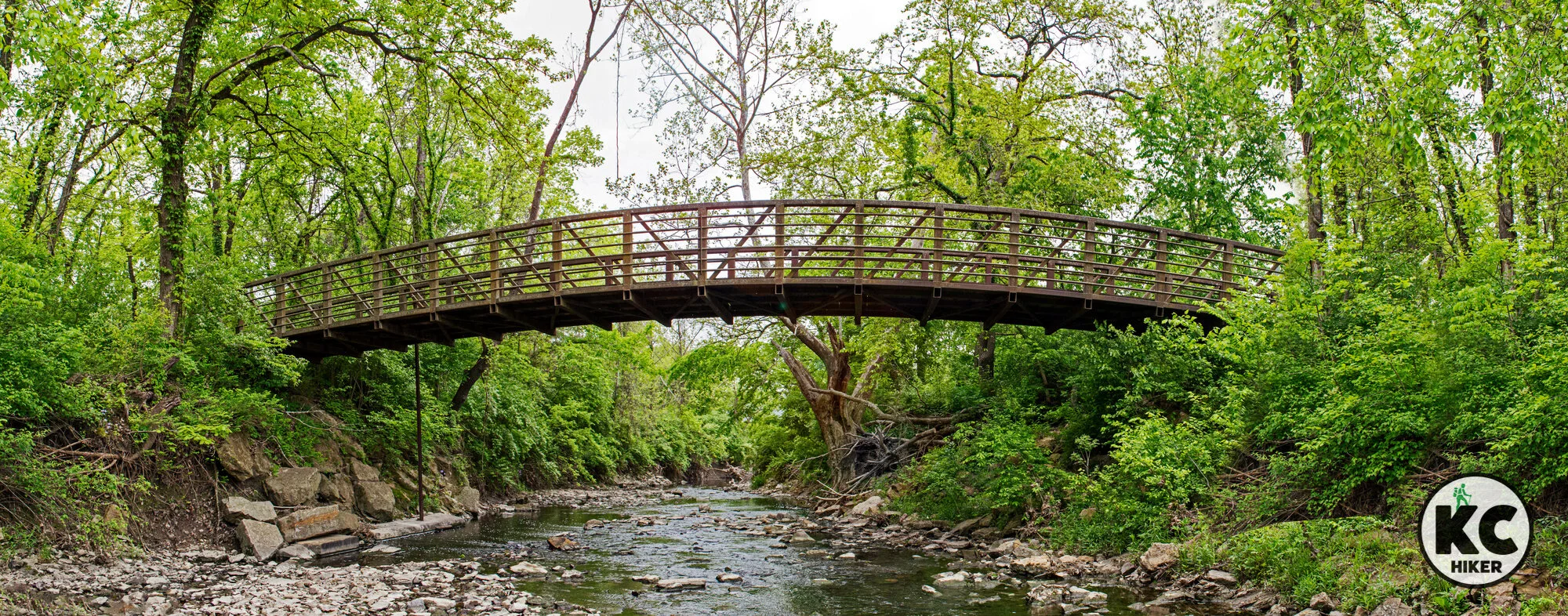
The Kill Creek Streamway Trail offers a mostly quiet stroll through pastoral beauty in western Johnson County. The 8.9 miles of paved trails are split into two sections that do not connect. The southern section begins at the 143rd Street trailhead and heads north into Kill Creek Park. From there, you have to drive or bike to the northern section, which you can access on Lexington Avenue in DeSoto or at the dog park on 95th Street. In general, the northern section is more forested and diverse, with multiple bridge crossings; it is also closer to industry and highway noise. The southern section is pastoral with gently rolling and flat terrain.Note: Kill Creek Streamway Trail passes through Kill Creek Park, but the trail also extends north and south of the park.
Length 8.9 miles in two sections.
Address and location Access points are at:
Northern Dog Park Trailhead: 33460 W. 95th Street, De Soto, Kan.
Kill Creek Park access near Shelter #1, 11670 S. Homestead Lane, Olathe, Kan.
Southern Trailhead: 31430 W 143rd St, Gardner, Kan. 66030
Conditions This is a pleasant, paved trail. Significant portions of the trail – particularly on the southern section, are unshaded. Prepare for sun and winter exposure.
Kid friendly? This is a perfect trail for pushing a stroller. Heads up for passing bikers.
How busy? This trail experiences moderate traffic.
Pets Yes, on a leash (unless otherwise designated). Read Johnson County Park rules here.
Bikes Non-motorized bicycles are permitted.
Northern Trailhead at Dog Park
Southern Trailhead on 143rd Street
Explore 900 acres of nature at Kill Creek Park
Kill Creek Park is a convergence of prairie, woodland and water. In addition to the park’s namesake stream, the 27-acre Kill Creek Lake provides a serene reservoir for kayaking, fishing and birdwatching. Near DeSoto, Kill Creek Park is home to 12 miles of trails on nearly 900 acres. Its woodlands and prairies are home to wildflowers, babbling brooks and wildlife.
In addition to numerous acres of grassland, a 20-acre section of native prairie is preserved, featuring more than 200 plant species. “Kill Creek Park provides a good opportunity to observe common wildlife like deer, coyote, bobwhite quail, wild turkey and various birds of prey,” writes naturalist Larry Rizzo in “Kansas City Wildlands.”
The 58-foot tall Russell and Helen Means Prairie Observation Tower is a highlight. Kill Creek Lake has docks and a small marina and playgrounds/shelters.
Kill Creek Park and trail system near DeSoto, Kansas, in Johnson County
Experience the pristine woods and prairie of western Johnson County.
Trail Kill Creek Park trails
Overview
Kill Creek Park is a convergence of prairie, woodland and water. In addition to the park’s namesake stream, the 27-acre Kill Creek Lake provides a serene reservoir for kayaking, fishing and birdwatching. Near DeSoto, Kill Creek Park is home to 12 miles of trails on nearly 900 acres. Its woodlands and prairies are home to wildflowers, babbling brooks and wildlife.In addition to numerous acres of grassland, a 20-acre section of native prairie is preserved, featuring more than 200 plant species. “Kill Creek Park provides a good opportunity to observe common wildlife like deer, coyote, bobwhite quail, wild turkey and various birds of prey,” writes naturalist Larry Rizzo in “Kansas City Wildlands.”
The 58-foot tall Russell and Helen Means Prairie Observation Tower is a highlight. Kill Creek Lake has docks and a small marina and playgrounds/shelters.
Length There are 12 miles of total trails, including 1.5 miles of paved trails.
Address and location 11670 Homestead Lane, Olathe, Kan., 66061
Conditions This park’s trail system is diverse enough to accommodate everyone. Of its 12 miles of trails, 1.5 miles are paved. Other trail surfaces include mowed fields and dirt paths. Trails are well maintained and well marked. There are minor-moderate elevation changes on the trails, although there are a few rocky areas to traverse. Stream crossings are also required on some paths. Because the park is large and there are many trails – some of which cross one another – a park map and/or GPS are advised. Dirt paths maintained by the Urban Trail Co. may be closed when they are wet.
Kid friendly? The paved parts of the trail are ideal for pushing strollers. Parents will want to be alert for bikers and to be mindful of water safety if children are near the lake. Playground equipment is also available.
How busy? The park can be heavily trafficked on peak days, but nearly empty off season and on some weekdays.
Pets Yes, on a leash (unless otherwise designated). Read Johnson County Park rules here.
Bikes Non-motorized bicycles are permitted.
Ernie Miller Nature Center
The Ernie Miller Park and Nature Center has been a beloved destination of school children, families and nature lovers for decades. Its 116 acres contain three miles of trails carving through forest and prairie and crossing streams.
Ernie Miller Park and Nature Center
This nature center and trail is a woodsy haven for city dwellers.
Trail Ernie Miller Park and Nature Center
Overview
The Ernie Miller Park and Nature Center has been a beloved destination of school children, families and nature lovers for decades. Its 116 acres contain three miles of trails carving through forest and prairie and crossing streams.Length There 3 total miles of trails, but the park connects with other trail systems if you want a longer hike.
Address and location 909 N Highway 7, Olathe, Kan., 66061
Conditions This park is frequented by people of all ages, but most of the trails are made of hard-packed dirt. They can be slippery (and best avoided) when wet. You’ll also encounter some steep inclines, water crossings and rocky footing. However, the trails are well maintained.
Kid friendly? Strollers are fine along the paved parts of the trail. Children will also be delighted by the Nature Center (when it’s open – check the hours before you go). Some of the trails will prove challenging to small children.
How busy? This is a popular park and can be busy at peak times.
Pets are prohibited.
Bikes are prohibited.
Explore Johnson County's “outback” at Big Bill Creek Park
Big Bull Creek’s trail system takes you off the beaten path to explore the ravines, hills and lowlands along Big Bull Creek. A short, paved loop is accessible to all, but the majority of the park’s trails are single-track dirt paths. You’ll weave in and out of timber and fields and experience many elevation changes as you traverse the terrain surrounding the stream. This is Johnson County’s “outback” and also a popular mountain biking course.
Big Bull Creek Park and trail system, Edgerton, Kansas
Get truly wild in Johnson County’s largest park
Trail Big Bull Creek Park Trail System
Overview
Big Bull Creek’s trail system takes you off the beaten path to explore the ravines, hills and prairie in the watershed of Big Bull Creek. There is a pave loops accessible to all, but the majority of the park’s trails are single-track dirt paths and mowed trails. You’ll weave in and out of timber and fields and experience many elevation changes as you traverse the terrain surrounding the stream. This is Johnson County’s “outback” and also a popular mountain biking course. Want to get off the beaten path? Explore the more than 2,000 acres here dedicated to nature and recreation. Note: The natural surface trails are often closed after rain or snow melt. Before hiking or biking in those conditions, please check the trail status.
Conditions
The Horseshoe Loop is a short, paved trail accessible to all. But the majority of the system is natural surface. There are moderate elevation changes. This trail is best for the sure-footed and children who are up to a challenge.
Kid friendly? The trailhead provides a play area for children and the paved trail is suitable for strollers and kids. The rest of the trail is for hearty travelers. Restrooms and picnic facilities are available near the parking lot.
How busy? Due to its remote location, this trail is usually one of the less traveled in Johnson County.
Pets Yes, on a leash (unless otherwise designated). Read Johnson County Park rules here.
Bikes Non-motorized bicycles are permitted.
Black Hoof Park and Lake Lenexa Trail
Black Hoof Park is one of the most scenic in the Kansas City area. Although it’s in the midst of the suburbs and near K-7, it retains a secluded feel. Lake Lenexa, encircled by forest, is clear and a frequent stop for waterfowl. Trails brings you through wooded areas, hug the lake and bridge the dam (an architecturally interesting site in and of itself).
Black Hoof Park and Lake Lenexa trails
Circle a 35-acre lake and get close to nature on three miles of trails.
Trail Black Hoof Park and Lake Lenexa Trail
Overview
Black Hoof Park is one of the most scenic in the Kansas City area. Although it’s in the midst of the suburbs and near K-7, this 231-acre recreational area retains a secluded feel. Lake Lenexa, encircled by forest, is clear and a frequent stop for waterfowl. The trail brings you through wooded areas, hugs the lake and bridges the dam (an architecturally interesting site in and of itself).Length There are about 3 miles of trails in total. The main trail circling the lake is 2 miles long.
Address and location 9053 Monticello Rd, Lenexa, Kan., 66220. There is also a trail head at 23351 Prairie Star Pkwy, Lenexa, Kan., 66227, which leads into the park.
Conditions
The 2-mile trail encircling the lake is split in two. The northern half, which is accessible from parking lots, is paved and has only minimal elevation changes. The southern half, which begins after crossing the dam, is a dirt trail with moderate elevation changes.
Kid friendly? The paved trail, though busy and near the water’s edge, is safe for children who are being supervised by a caregiver. The park also has a play area and other amenities for kids.
How busy? The paved, north side of the trail can be quite busy, especially when weather is ideal.
Pets Yes, on a leash (unless otherwise designated).
Bikes Non-motorized bicycles are permitted.
Camp Branch Glade: A small reserve packed with nature
Camp Branch Glade is a unique southeast Johnson County park that has preserved some of the area’s native wildness. Its 58 acres include a glade, prickly pear cactus, a sinkhole, large limestone boulders and a rocky, clear tributary to Camp Branch Creek and the Blue River.
Camp Branch Glade Park and trail, Stillwell, Kansas
This small park has preserved some of Johnson County’s natural features.
Trail Camp Branch Glade trail
Overview
Camp Branch Glade preserves a pocket of Johnson County’s native wildness. Its 58 acres include natural features rare to the county. These include a limestone glade, prickly pear cactus, a sinkhole, limestone boulders and a rocky, clear tributary to Camp Branch Creek and the Blue River. It’s a small park that’s big on natural wonders.
Length 1.5 miles total in three loops
Address and location 5151 W. 175th St., Stilwell, Kan., 66085
Conditions This is a rustic, dirt trail but it is well marked and has only moderate elevation changes.
Kid friendly? This trail is not suitable for strollers, but supervised children should do fine. There is a portable restroom.
How busy? Low to moderate traffic.
Pets Yes, on a leash (unless otherwise designated). Read Johnson County Park rules here.
Bikes Non-motorized bicycles are permitted.
Heritage Lake and Coffee Creek Streamway Trail
The Coffee Creek/Heritage Park trail system is a hidden gem in Southern Johnson County. It follows picturesque Coffee Creek and loops Heritage Lake, which is often busy with kayakers. Waterfowl are frequent visitors.
Coffee Creek Streamway and Heritage Park/Lake trails
Circle Heritage Lake and follow a meandering stream through the woods in southern Johnson County.
Trail Coffee Creek Streamway and Heritage Park trails
Overview The Coffee Creek/Heritage Park trail system is a hidden gem in Southern Johnson County. It follows picturesque Coffee Creek and loops Heritage Lake, which is often busy with kayakers. Waterfowl are frequent visitors.
Length The loop around the Heritage Lake area is about one mile. The Coffee Creek Streamway Trail is 3.4 miles one way, east-west, beginning at Heritage Park in Olathe.
Address and location You can access the Heritage Lake loop from the main parking lot or anywhere near the lake. To reach the Coffee Creek Trailhead, park at begin at shelters 9-10. The park’s address is: Heritage Park, 16050 Pflumm Road, Olathe, Kan., 66062. To access Coffee Creek Trail from the east, begin at Arthur & Betty Verhaeghe Park, 11401 W 167th St, Overland Park, Kan., 66221.
Conditions Easy walk with minimal elevation changes. Paved. Significant portions of the trail are unshaded, so be mindful of heat and sun.
Kid friendly? This trail is paved and well maintained so it’s suitable for strollers and children on bicycles. The trail around Heritage Lake is busy, so caregivers will need to be attentive to children’s safety. In addition, walking near the lake requires parents to be mindful of small children and water safety.
How busy? This is a popular and often busy trail.
Pets Yes, on a leash (unless otherwise designated). Read Johnson County park rules here.
Bikes Non-motorized bicycles are permitted.


